 Project Britain
British Life and Culture
by Mandy Barrow
- Search our Site
- Project Britain
- Calendars
- Facts and figures
- London
- Great Britain
- Union Flag
- A-Z of Britain
- Customs & traditions
- Britain today
- Daily Life
- Money
- Etiquette
- Monarchy
- Government
- Education
- Tourist Information
- Food and drink
- Sports and leisure
- History
- Kings and Queens
- Superstitions
- Glossary
|
Landscape of England
|
|
|
What is the land like in England? Click here to find out about the geography of the UK England covers over 50,000 square miles (130 439 square kilometres) and is the largest of the countries comprising the island of Britain, covering about two-thirds of the island. No place in England is more than 75 miles (120 km) from the sea.
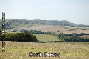
The landscape is determined mainly by the different types of rock underlying it. In the south, chalk has produced the gently rolling hills of the Downs, while hard granite is the basis for the mountains of the north and the high moorlands of Dartmoor and Exmoor in the south-west.
Much of the land in England is flat (low lying) - less than 1000m above sea level, forming meadowlands and pastures and less than 10 percent of the area is covered by woodlands. Farmers raise animals or grow crops in the fields. Read more about farming
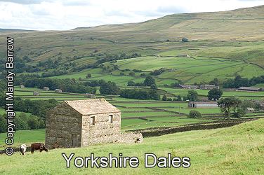
Upland areas are generally confined to northern England: the exceptions are the upland moors of Dartmoor and Exmoor in the south-west.
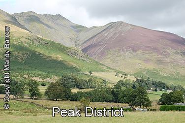
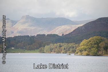
The landscape of England is more rugged in the north and the west. The highest elevations are in Cumbria and the Lake District in the west. The highest point in England is Scafell Pike, 978m, part of the Cumbrian Mountains in North West England. The area of the Cumbrian mountains is the most rugged in England and is more commonly known as the Lake District after the many lakes there.
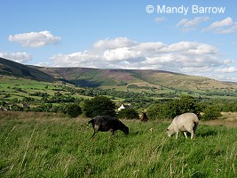
The Pennines, a large chain of hills with moorland tops rising to between 600 and 900 metres, splits northern England into northwest and northeast sectors. They run down from the Scottish border to the river Trent about halfway down the country.
The Southwest is a long peninsular with bleak moorlands and rocky outcrop. The wide expanse of Salisbury Plain occupies most of the central part of southern England.
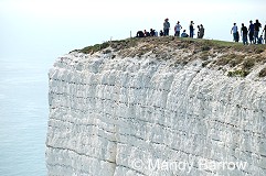
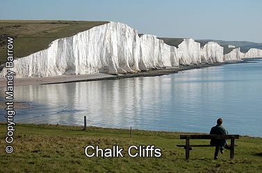
In the Southeast, a horseshoe-shaped ring of chalk downs surrounds the formerly wooded area of the Weald. The southeast corner, from Dover to Eastbourne, has dramatic chalk cliffs bordering the English channel.
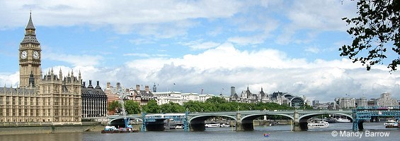
Rivers England's best known river is, of course, the Thames which flows through London. It is also the longest, at 346km, in England
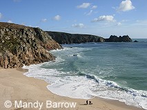
(The River Severn is the longest in total, but its source is in the mountains of Wales, and the parts which run through England are shorter than the Thames). Coastline England has a long coastline of 3,200 km. In the south and west, the coastline can be rocky, with steep cliffs. The east coast is often flat and low lying, with beaches and mud flats.
The Borders of England. The English Channel runs along England's southern border, and the North Sea forms England's eastern border. Wales and the Irish Sea border England to the West. Scotland runs along England's northwestern borders. Other pages on a similar theme Also read more about the landscape in the different areas of England |
|
 © Copyright - please read © Copyright - please read All the materials on these pages are free for homework and classroom use only. You may not redistribute, sell or place the content of this page on any other website or blog without written permission from the Mandy Barrow. |
© Copyright Mandy Barrow 2014
Mandy is the creator of the Woodlands Resources section of the Woodlands Junior website.
The two websites projectbritain.com and primaryhomeworkhelp.co.uk are the new homes for the Woodlands Resources.
Mandy left Woodlands in 2003 to work in Kent schools as an ICT Consultant.
She now teaches computers at The Granville School and St. John's Primary School in Sevenoaks Kent.
Woodlands Junior Homework Help new website
